Integrated Weather Observation System


Integrated Weather Observation System
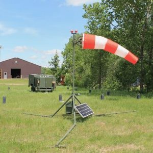
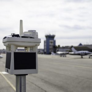
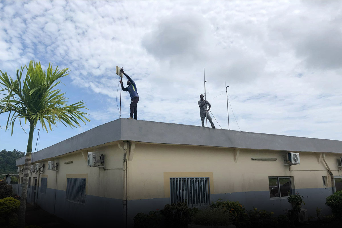
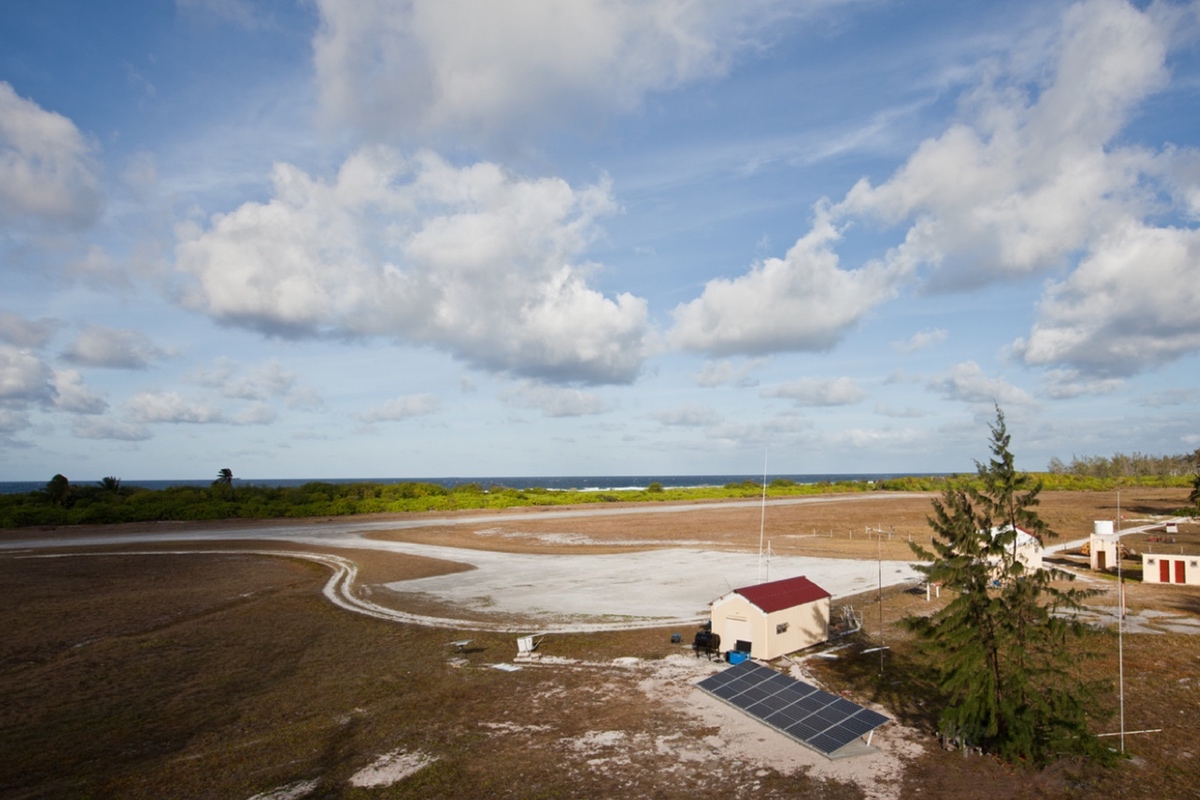
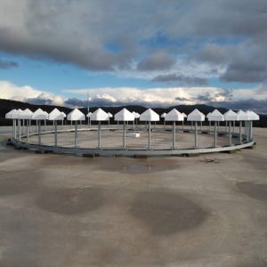
The Integrated Weather Observation System (IWOS) is a compact, wireless, rugged weather station designed to replace legacy Automated Weather Observation Systems (AWOS) for remote, semi-permanent or temporary operations. The IWOS integrates over a dozen environmental parameters with built-in data processing and satellite or cellular communications delivering accuracy, portability, modularity, and military-grade construction at a lower lifecycle cost compared to traditional AWOS weather stations. Within a package that fits into a single Pelican case and weighs less than 25 pounds, the IWOS environmental sensing modules offer a complete range of weather sensing parameters that include: temperature, pressure, humidity, wind speed and direction, lightning distance and frequency, and cloud layers up to 25,000 ft.
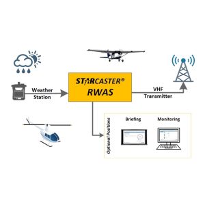
The IWOS environmental conditions in near real time by transmitting data via cellular, wire, radio, or Iridium satellite communications. It is also capable of reporting weather or onsite images autonomously for unmanned or remote operations. With its modular, portable, and autonomous features, the IWOS structure can fit up to eight rugged weather-sensing modules enabling quick replacement while also allowing for future advancements.
Features
- Replacement for fixed AWOS Weather Stations
- Portable, semi-permanent or permanent operations
- Installation and start-up only takes 5 minutes
- Autonomously reports data wirelessly
- Receives automatic reports in METAR and SPECI format
- Ruggedized, military-grade modules can withstand nearly any hazard
- Powered via A/C or solar power systems
- Weighs under 25 lbs and fits into a single case
- Fits most tripods with a 3/8-in 16-threaded mount
Weather Data Reported
- Temperature
- High Accuracy Barometric Pressure
- Relative Humidity
- Wind Speed / Direction
- Max Wind Speed / Direction
- Compass Reading
- Longitude / Latitude
- Cloud Height up to 25,000 ft.
- Present Weather
- Visibility
- 360° Panoramic Imagery
- Lightning Distance
- Lightning Frequency
- Lightning Direction
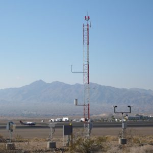
Applications
- Regional airports
- Remote airfields
- Forward operating bases
- Austere locations
- Helicopter pads