| Sensor Specifications | |
|---|---|
| Temperature | Range: -40°to 60°C (-40 to 140 °F) Resolution: 0.1°C Accuracy: ±0.2°C at 25°C (77°F) |
| Barometric Pressure | Range: 600 to 1110 mb Resolution: 0.01 mb Accuracy: ± 0.5 mb at 25°C (900-1100 mb) |
| Humidity | Range: 0 to 100% Resolution: 1% Accuracy: ± 2% |
| Precipitation | Range: 0 to 153 mm/hr (0 to 6 in/hr) Resolution: 0.25mm/hr (0.01 in/hr) Accuracy: ±2.5 mm/hr (0.1 in/hr) or 10% (whichever is greater) |
| Cloud Height/Ceiling | Range: Surface to 10,000 ft (surface to 3048m) Resolution: 33ft (10m) Accuracy: ± 100 ft or 10% (whichever is greater) |
| Wind Speed | Range: 0 to 28 m/s (0 to 55 knots) Resolution: 0.5 m/s (1 knot) Accuracy: ± 3% |
| Wind Direction | Range: 0º to 359º Resolution: 1º Wind Direction: ± 5º |
| Angular Tilt | Range: -90º to +90º Resolution: 0.1º Accuracy: ± 1º |
| Dust Accumulation | Range: 0 to 100% (quality control sensor) Resolution: 1% Accuracy: ± 10% |
| Lightning Distance | Range: 0 to 40 km (0 to 25 mi) Resolution: 3.2km (2 mi) Accuracy: ± varies |
| Visibility | Range: 10 to 10,000 m (0 to 6.2 mi) Resolution: 100 m (0.06 mi) Accuracy: ± 10% |
| 360° Imaging Sensor | 4 wide-angle colour images with 320 x 240 resolution |
Micro Weather Station
Micro Weather Station
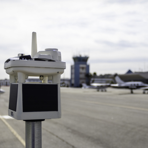
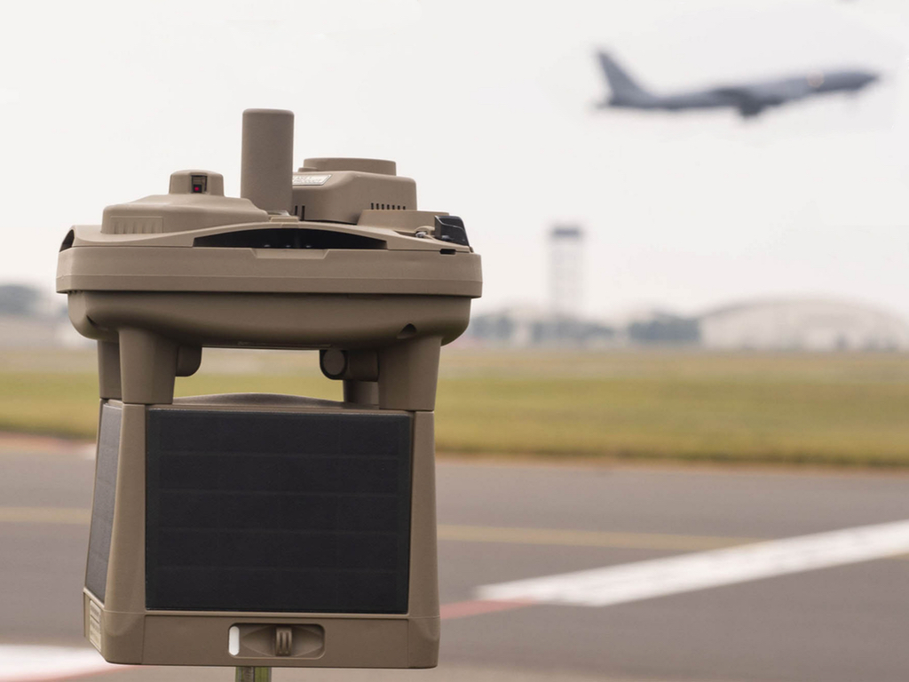
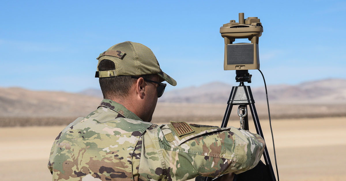
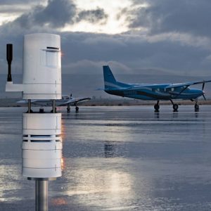
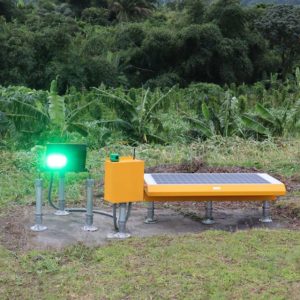
The Portable Micro Weather Station features robust construction and autonomous design with easy installation and maintenance free operation. Designed for smaller airports, remote heliports and tactical aviation operations, the Portable Micro Weather Station provides a variety of real time weather reporting conditions including cloud height measurement via the world’s smallest integrated LIDAR ceilometer within a compact and wireless weather sensor product. With 28 different environmental monitoring parameters, key reporting variables include: temperature, barometric pressure, wind speed/direction, lighting distance/frequency, visibility measurements, precipitation amounts, visual imagery and cloud heights up to 10,000 feet within 10% accuracy.
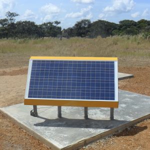
With a built-in cellular LTE-M wireless modem, cloud based data logging allows users real time access to environmental data at any time from any location. The self-contained Micro Weather Stations weigh 3.8 pounds with internal rechargeable batteries powered by a self-contained solar array ensuring sustained operations without the need for external power. The battery pack provides up to 7 days autonomy in the event of little to no solar charging. The Portable Micro Weather Stations are industry’s most compact, reliable and robust solution for airports and heliports that require environmental data delivered accurately and reliably without the financial investment of an AWOS system.
Instrumentation
- Cloud Height
- Temperature
- Barometric Pressure
- Altimeter Setting
- Relative Humidity
- Wind Speed
- Peak Wind Speed
- Wind Direction
- Visibility
- Dust Accumulation
- Compass Reading
- Precipitation Amount / Type
- Lightning Distance
- Lightning Frequency
- Visual Imagery
- GPS Longitude and Latitude
- GPS Elevation
- Compass Orientation
- Angular Tilt


